All Jigsaw Puzzles
My Home is Here - Personalised Wall Map
My Home is Here - Personalised Wall Map
SKU:YHCRLR
Couldn't load pickup availability
A Map with your Home in the Centre
Please note our personalised products take 3 working days to create
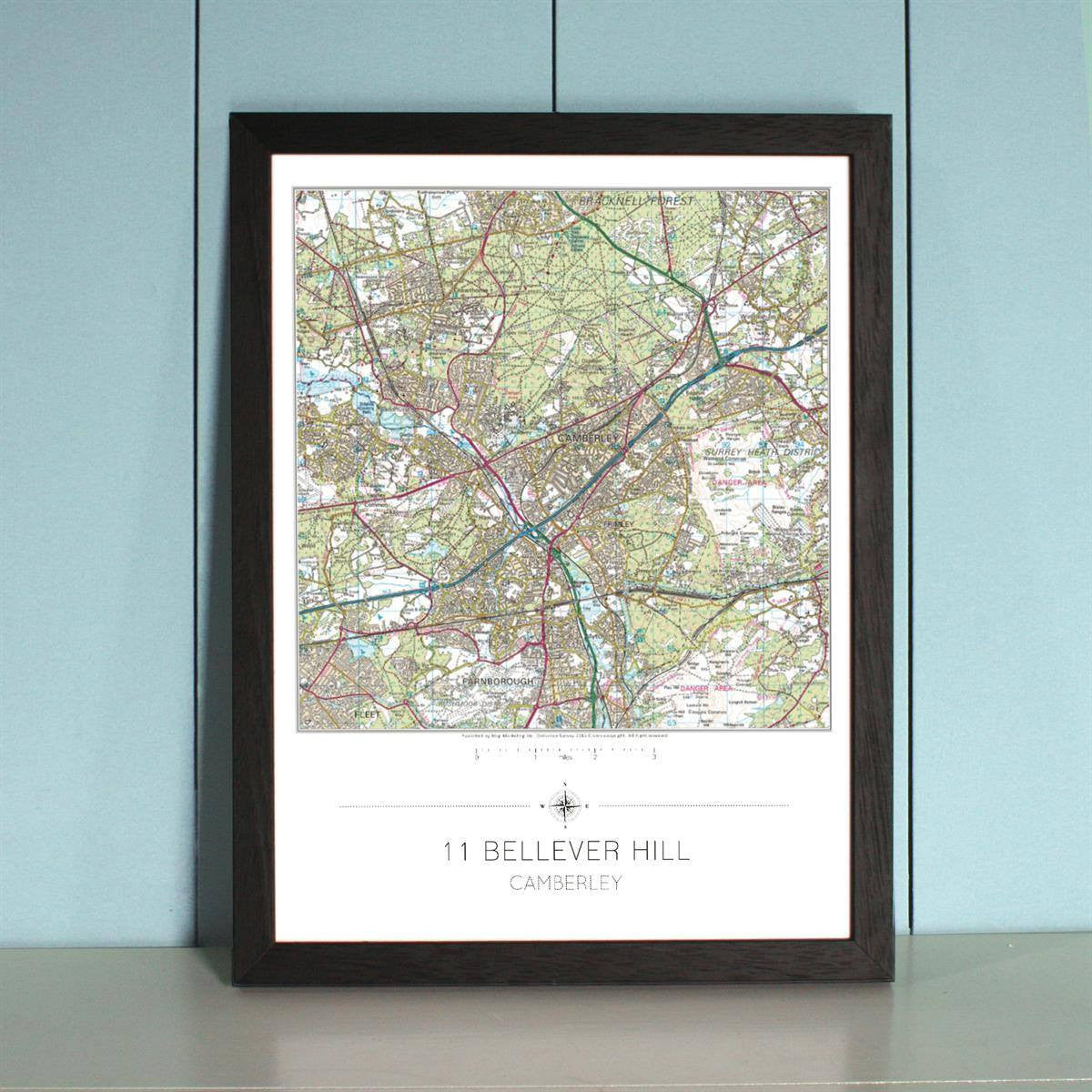
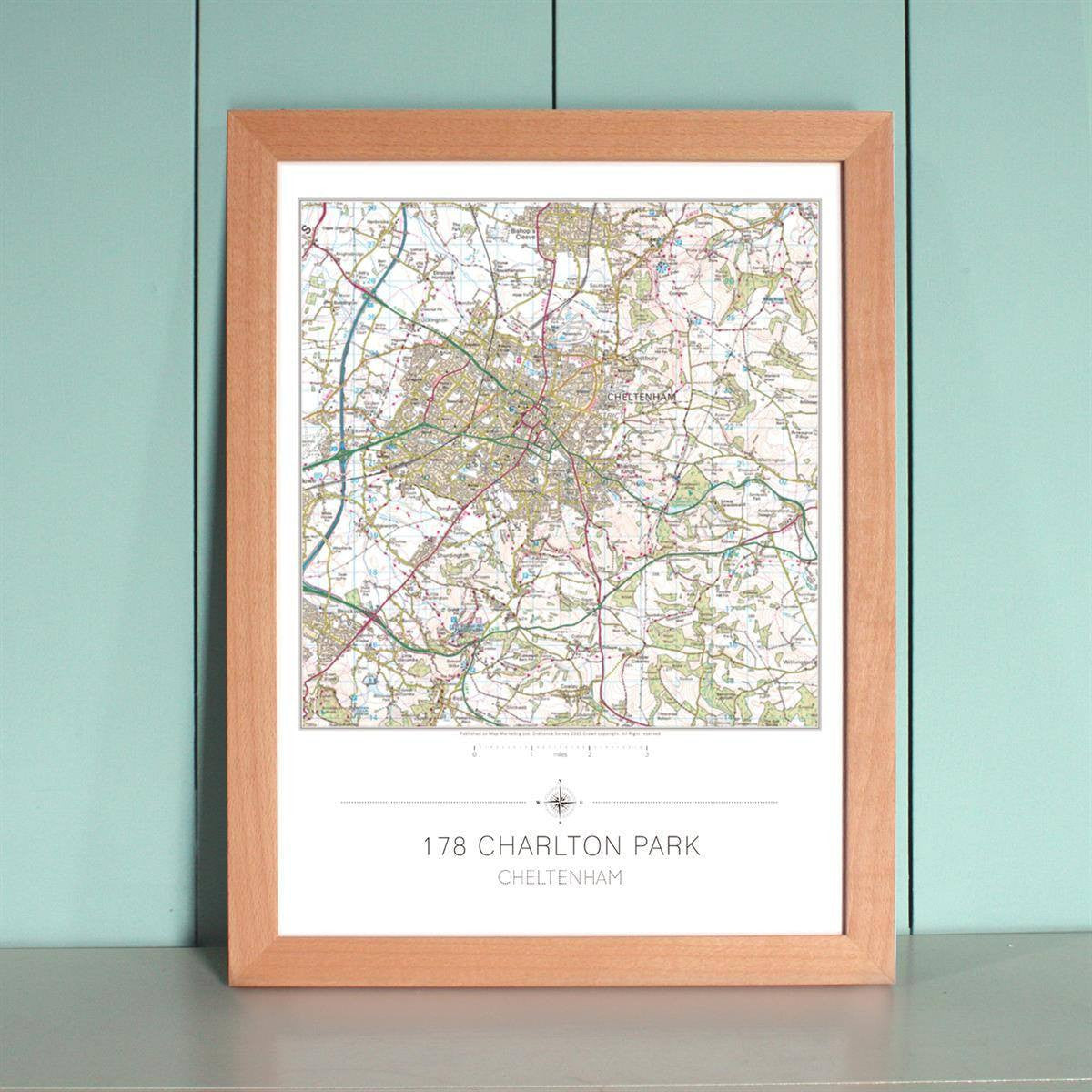
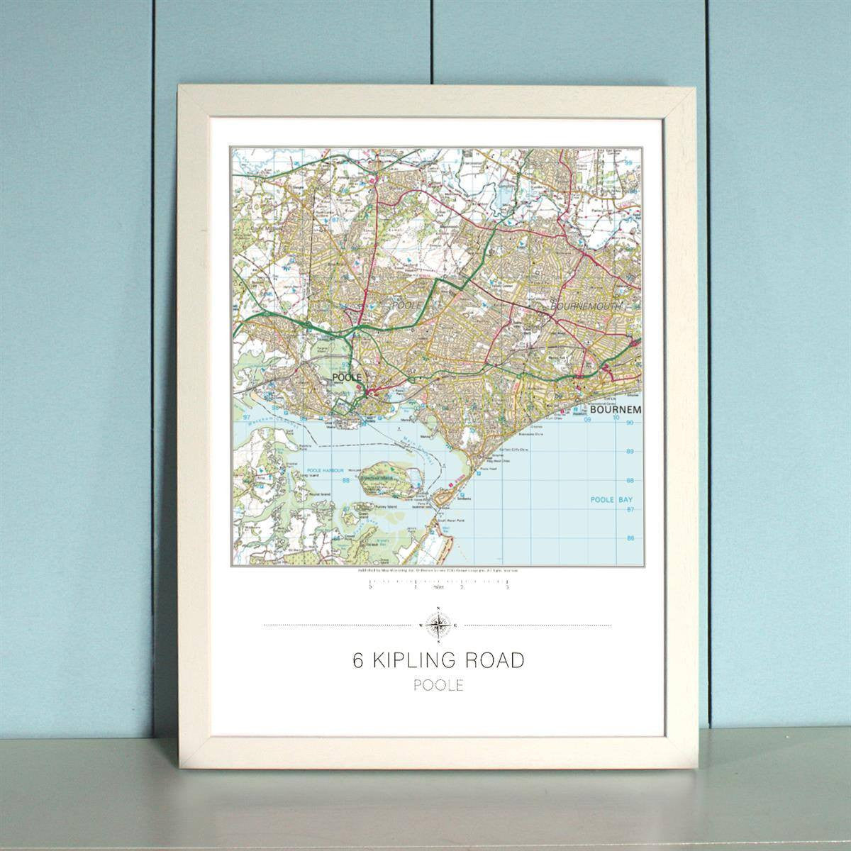
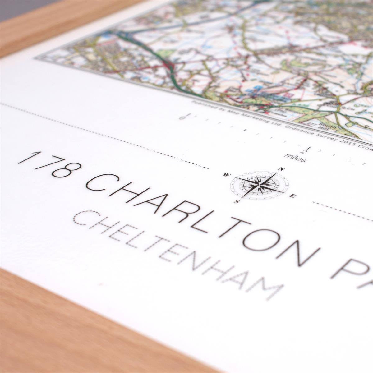
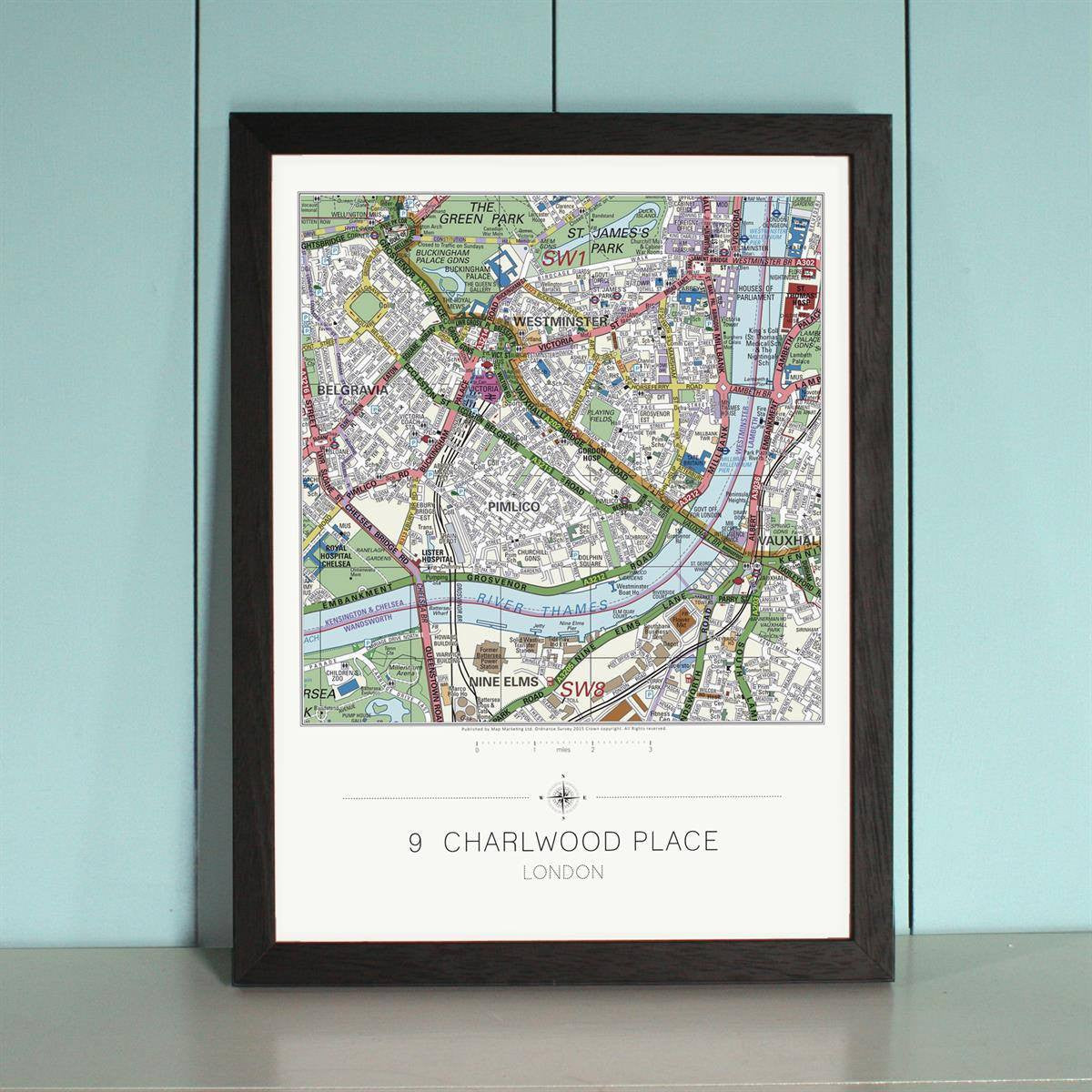
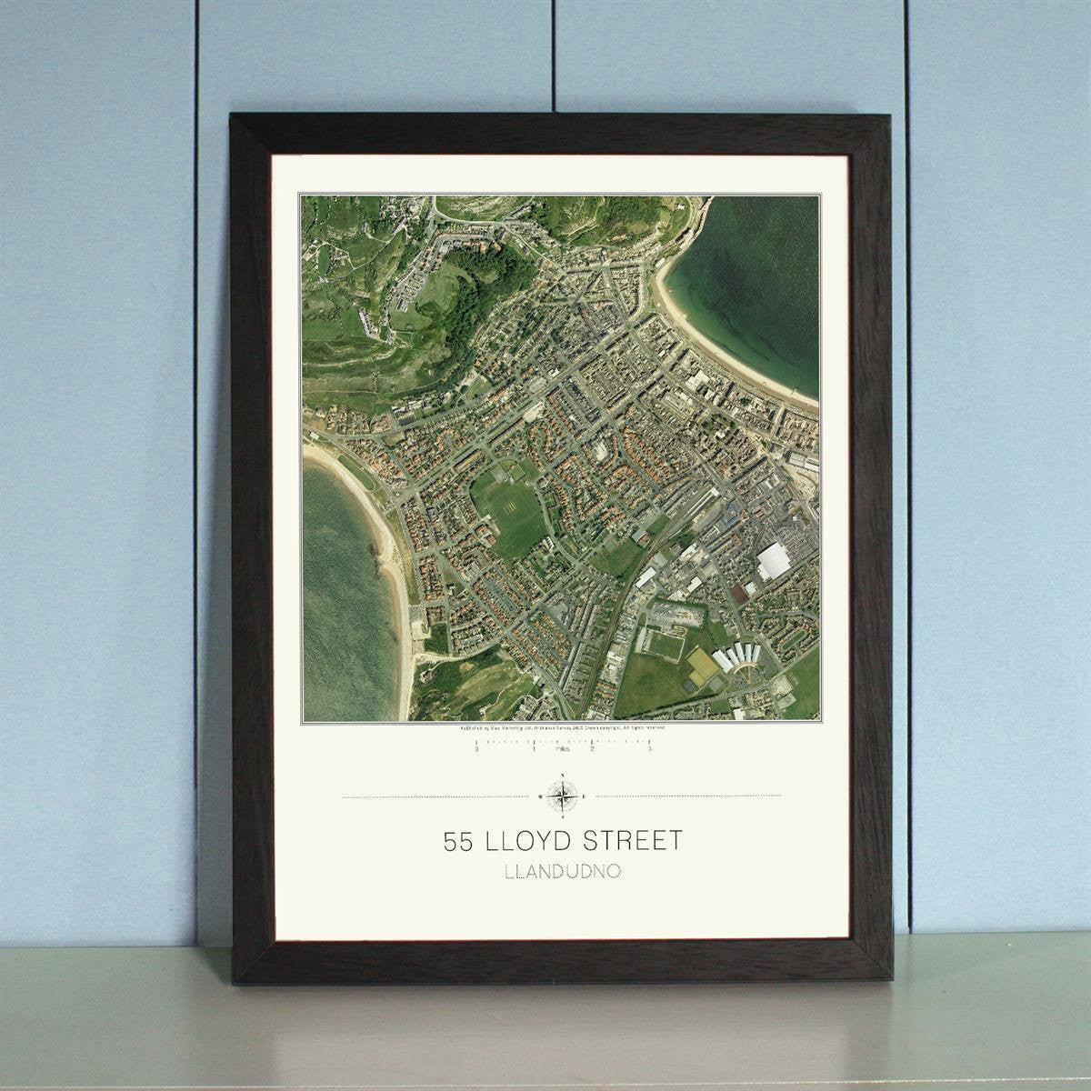
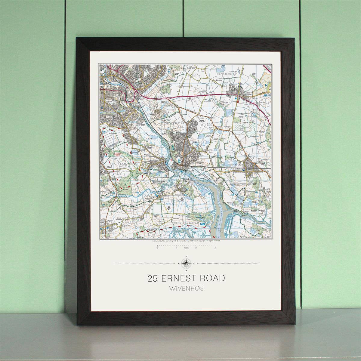
Put your home at centre stage! Simply give us your full address and postcode and we will produce this beautiful print of an Ordnance Survey® (Explorer or ) map or an Aerial Photo with your chosen location right in the centre of it. We then laminate the print, finish it in your choice of high quality wooden frame, and personalise it with the first line of your address and your postal town. Smart, stylish and informative, these framed maps or aerial prints make highly original and distinctive gifts for someone special. Or of course you could treat yourself...
Each finished print measures 47.5 x 36.5 cms and shows an area of just under 9 miles square on a map, 4.4 miles square on a Explorer map, 2.1 miles square on a London Street map or 2.1 miles square on an Aerial Photo.
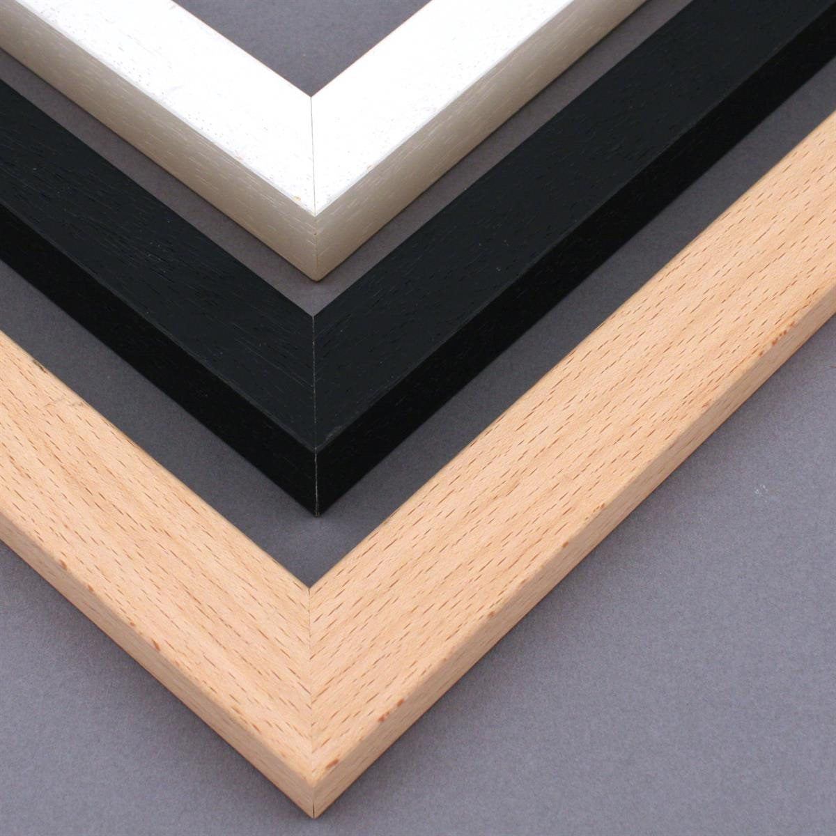
The frames are available in your choice of black, ivory or beech.
Mapping
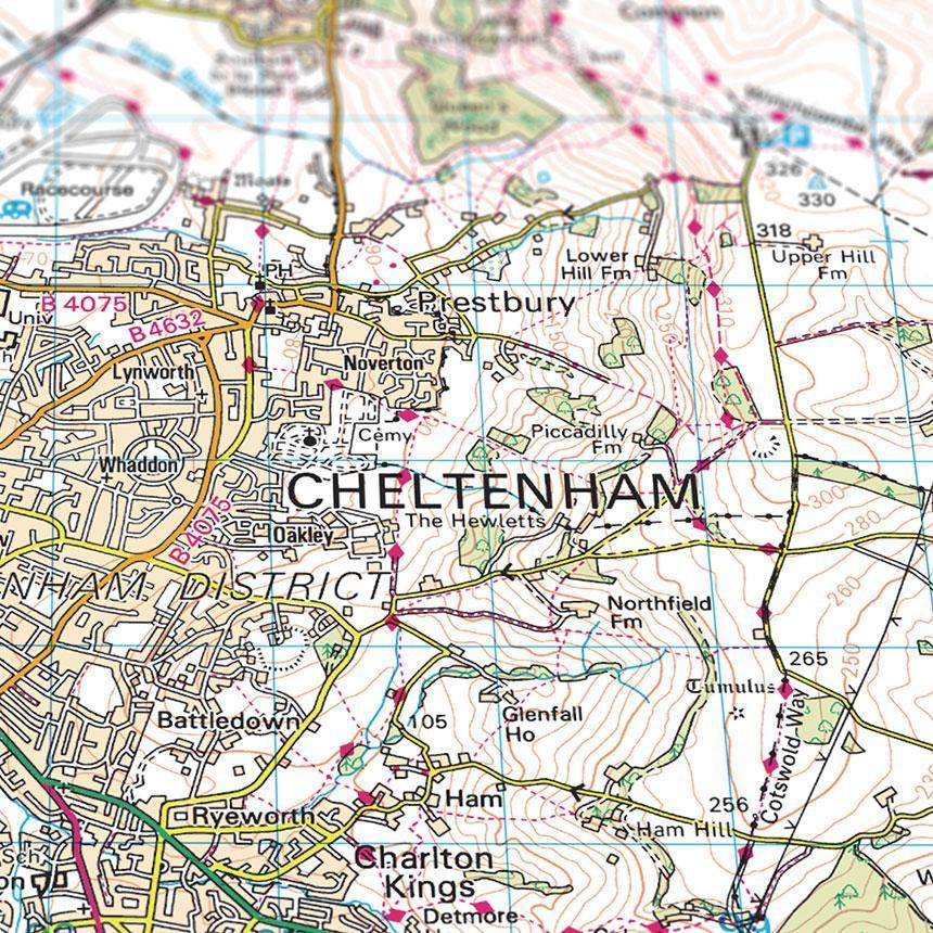
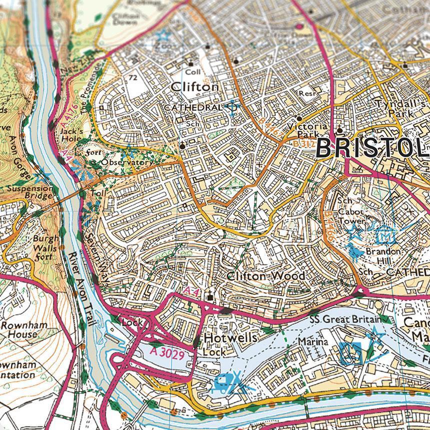
- Ordnance Survey’s flagship map base, the mapping base is bursting with colourful information showing landmarks and areas of interest. The map detail features everything from footpaths to motorways and from farms to stately homes
- Ordnance Survey mapping covers all of mainland Great Britain (England, Wales & Scotland)
- Scale 1:50,000 (Ordnance Survey mapping)
- Coverage: 9 miles square (Ordnance Survey mapping)
Explorer Mapping
- Even more detailed than the mapping, ideally suited for more rural areas. This is the largest scale mapping available that shows public rights of way, access land and parish boundaries. The Explorer base features building shape outlines for larger buildings on top of full street plan layouts for all cities, towns and villages.
- Ordnance Survey Explorer mapping covers all of mainland Great Britain (England, Wales & Scotland)
- Scale 1:25,000 (Ordnance Survey mapping)
- Coverage: 4.4 miles square (Ordnance Survey Explorer mapping)
Aerial Photography
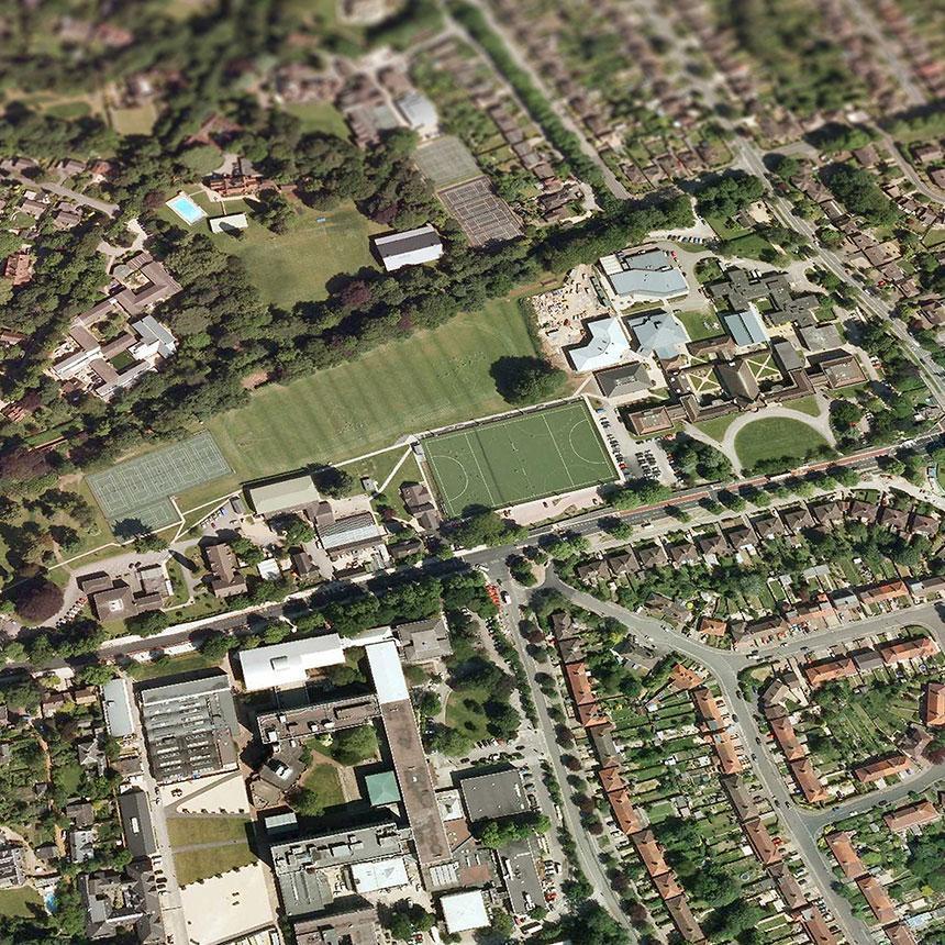
- Aerial photography gives you a fascinating bird's eye view of your surrounding community. We work with the country’s leading supplier of aerial imagery to create your jigsaw from their database of over 200,000 individual images, which have been painstakingly stitched together. Using a fleet of planes with highly sophisticated cameras the images are taken from an average of 4,000 feet up providing you with a whole new outlook on your local area as well as finding out which of your neighbours has the largest garden!
- Aerial Photography covers all of England and Wales
- Scale: 1:3650
- Coverage: 0.65 miles square
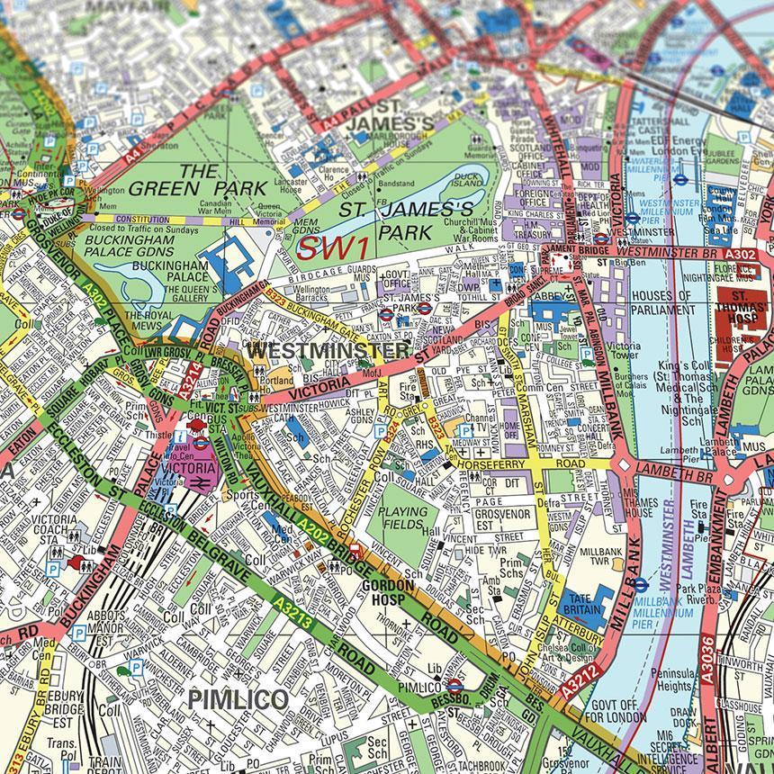
London Street Level Map (Postcodes within the M25)
- London street level mapping covers all of addresses within the M25
- Scale: 1:12,000
- Coverage: 2.1 miles square.
Mapping Not Available for Northern Ireland
Share
