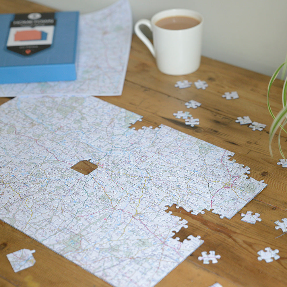
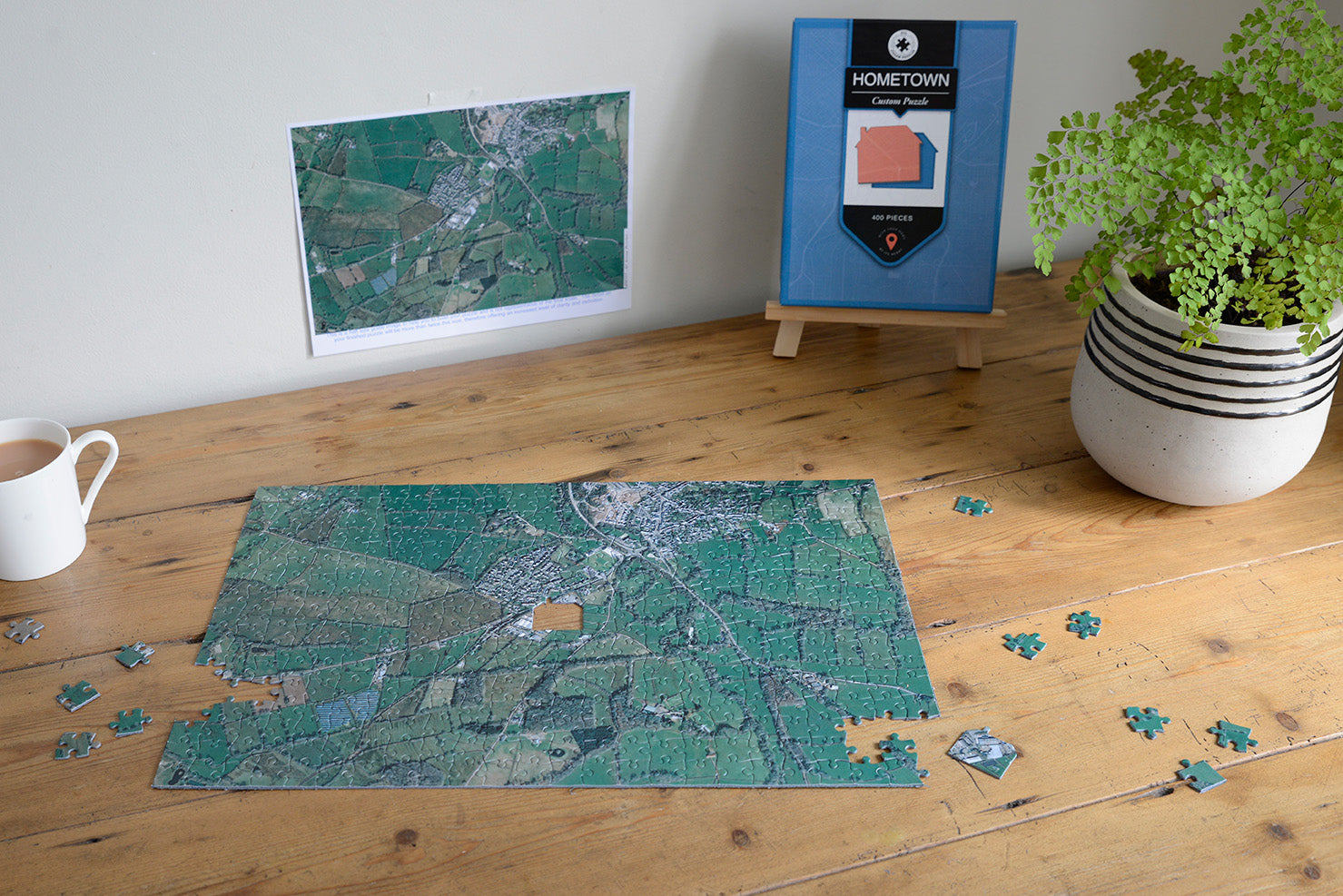
Home is where the heart is, so why not put a place you love at the heart of a jigsaw map?
Simply give your address and postcode of choice and we will create a beautiful map jigsaw puzzle of that special location.
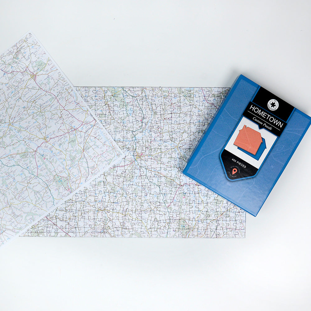
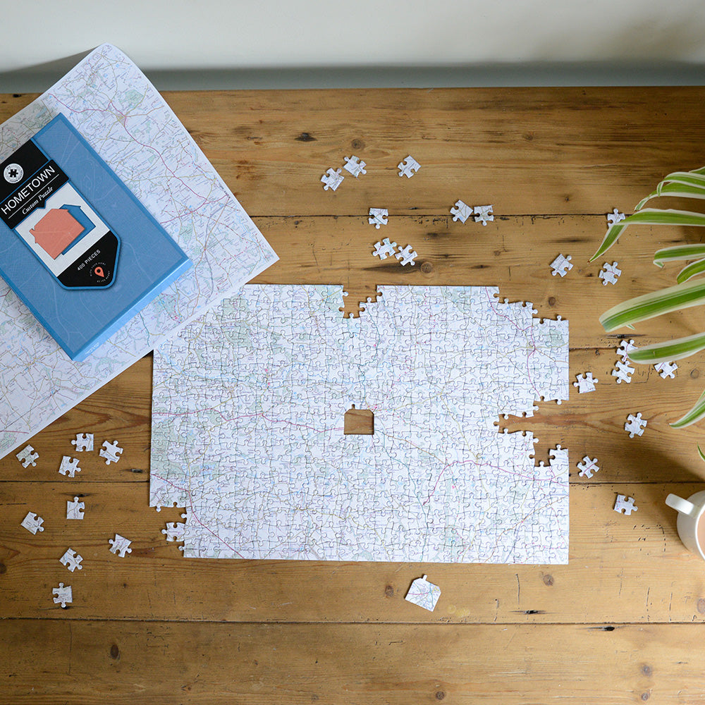
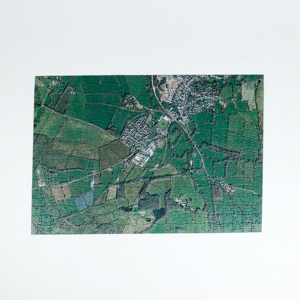
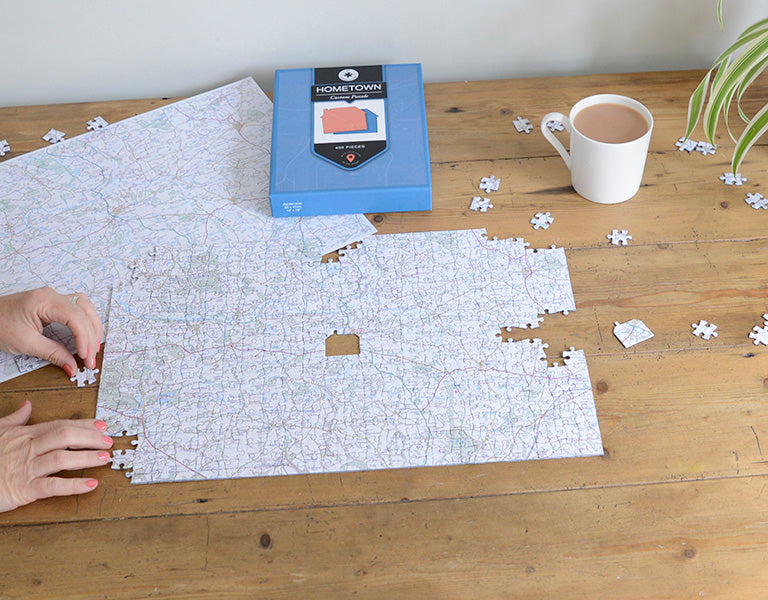
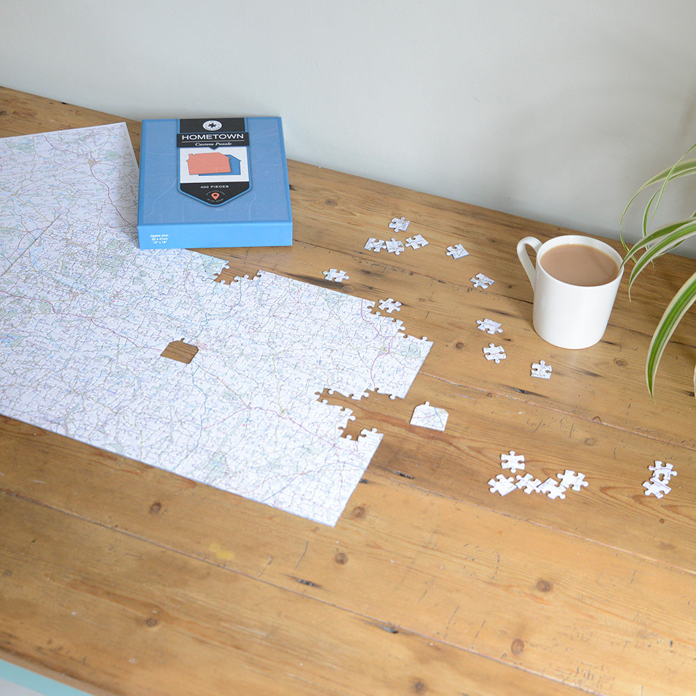
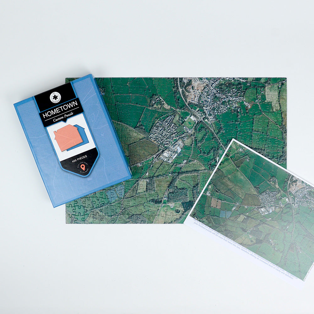
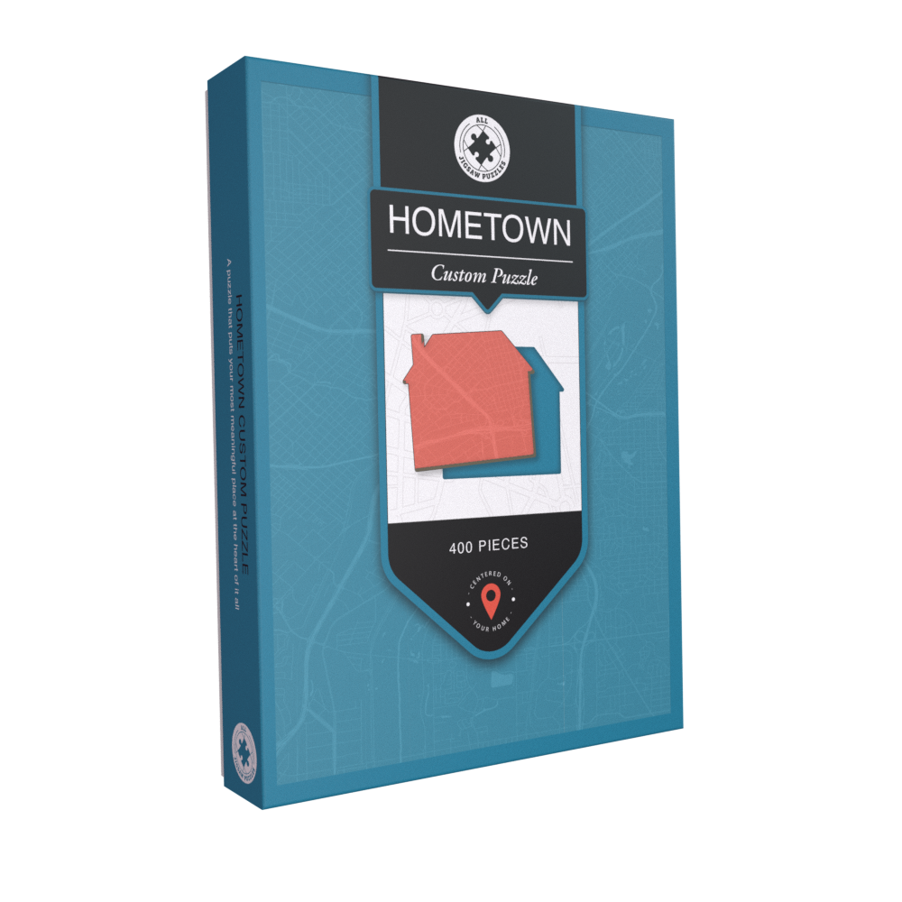
To make it even more special, your completely unique map jigsaw puzzle includes a house-shaped piece at the centre!
Test your local knowledge and discover places you’ve never seen before. This beautiful, bespoke puzzle is also a perfectly unique and thoughtful gift that will surprise and delight your lucky recipient.
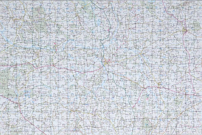
Choose from 100 pieces, 255 pieces or 400 pieces and a range of intricately detailed mapping bases to suit your address.
Select from the following three incredible map bases - UK Topographic, UK Aerial Photography or UK Street Mapping. See below for full details of each map.
Your made-to-order map jigsaw puzzle will have 1.9mm thick puzzle pieces, which are carefully placed in a gorgeous box made from recycled materials. A guide print is included to help you piece together your beautifully detailed map jigsaw.
This personalised product is handmade to your personal specification and will usually be delivered within 5 working days
Puzzle Sizes:
- The completed 100-piece puzzle measures 46 x 30cm
-
The completed 255-piece puzzle measures 37 x 27cm.
-
The completed 400-piece puzzle measures 47 x 32cm.
Mapping Base Full Details:
UK Topographic (1:50,000) -
100 Piece Map Shows 14.29 miles East to West and 9.32 miles North to South.
255 Piece Map Shows 11.49 miles East to West and 8.38 miles North to South.
400 Piece Map Shows 14.6 miles East to West and 9.94 miles North to South.
Covers Great Britain, the Isle of Wight, the Shetland Islands, the Orkney Islands and the Hebrides. © Crown copyright and database rights 2025 Ordnance Survey 100054682.
UK Aerial Photography (1:5,000) -
Please note this is a birds eye view, taken from a satellite image.
100 Piece Map Shows 1.43 miles East to West and 0.93 miles North to South.
255 Piece Map Shows 1.14 miles East to West and 0.83 miles North to South.
400 Piece Map Shows 1.46 miles East to West and 0.99 miles North to South.
Covers England, Wales and Scotland, including the Isle of Man, Isle of Wight, the Shetland Islands, the Orkney Islands and the Hebrides. Aerial Imagery for the United Kingdom courtesy of Getmapping Ltd, 2025.
A-Z Street Mapping (1:14,000) -
100 Piece Map Shows 4 miles East to West and 2.6 miles North to South.
255 Piece Map Shows 3.21 miles East to West and 2.34 miles North to South.
400 Piece Map Shows 4.08 miles East to West and 2.78 miles North to South.
Covers England and major cities in Wales and Scotland.
Map Data © Crown Copyright and database rights 2026 Ordnance Survey AC0000808974
© Collins Bartholomew Ltd 2026
Mapping Not Available for Northern Ireland