

All Jigsaw Puzzles
I Love You - Personalised UK Map 400 Piece Jigsaw Puzzle
I Love You - Personalised UK Map 400 Piece Jigsaw Puzzle
SKU:LA4V
Please enter your personalisation details:
Couldn't load pickup availability
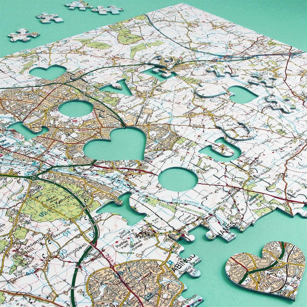
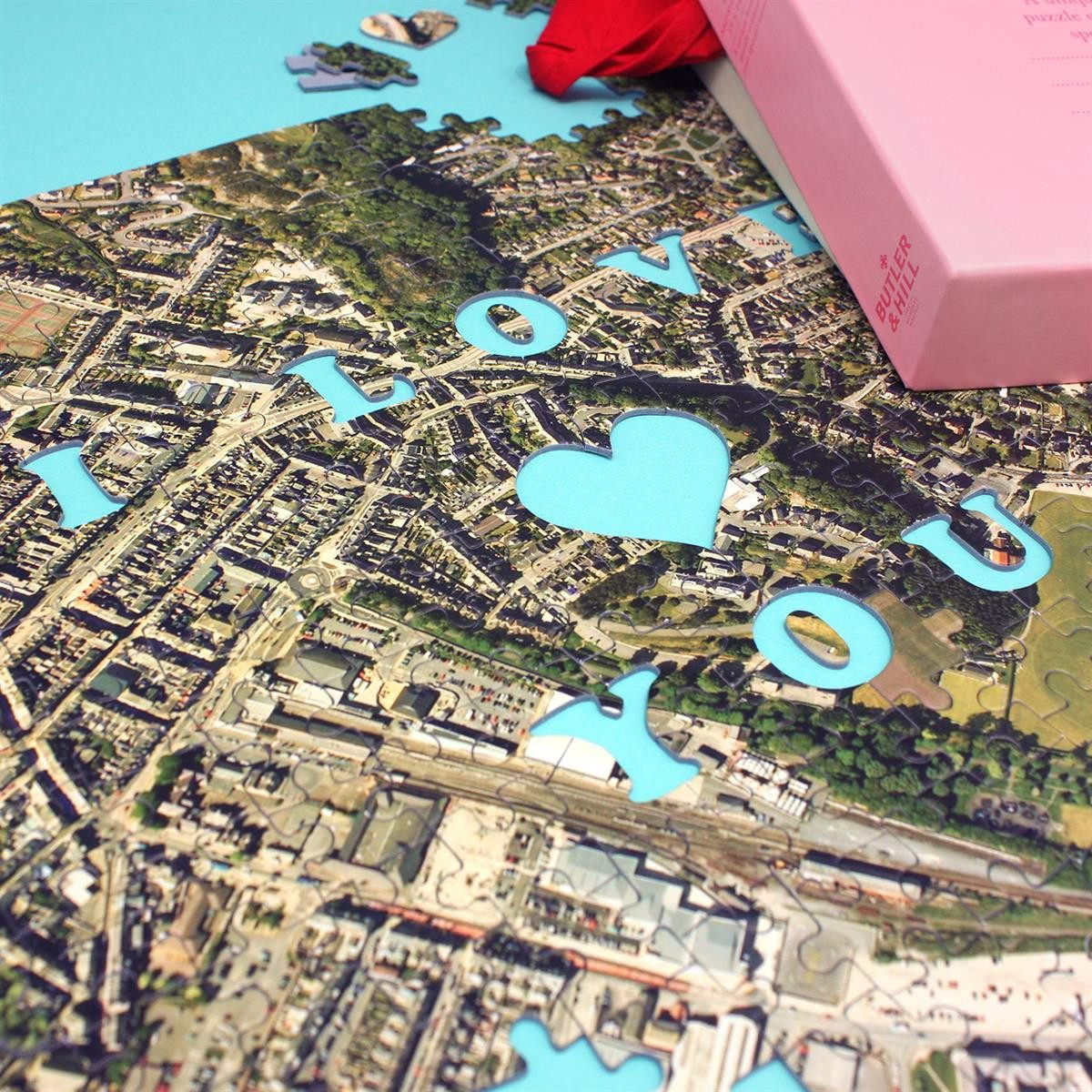
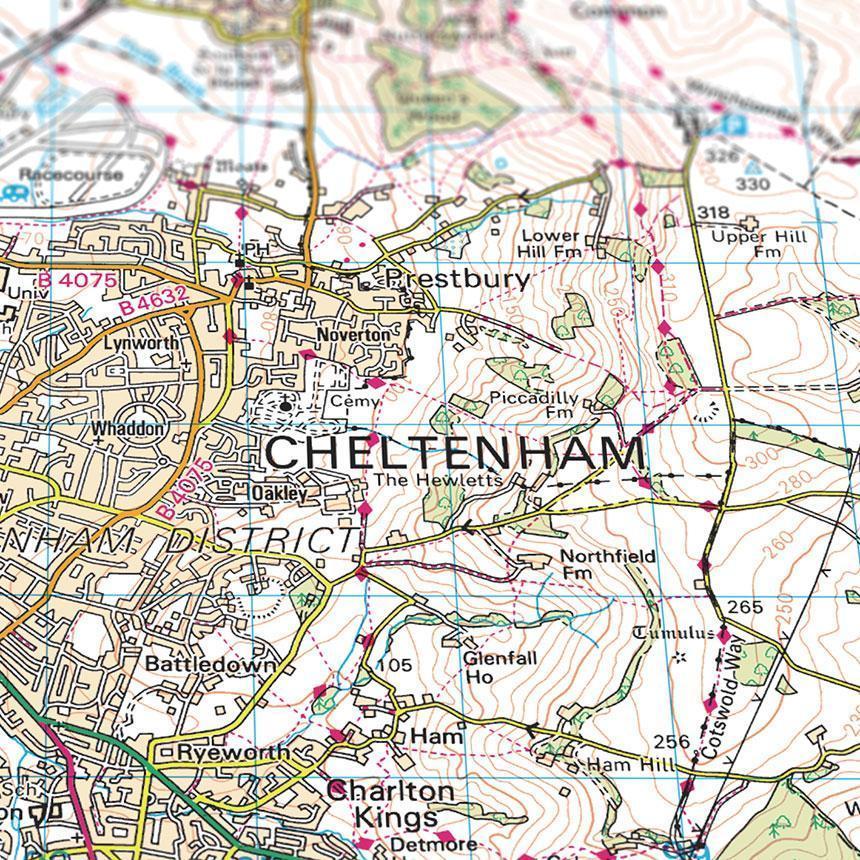
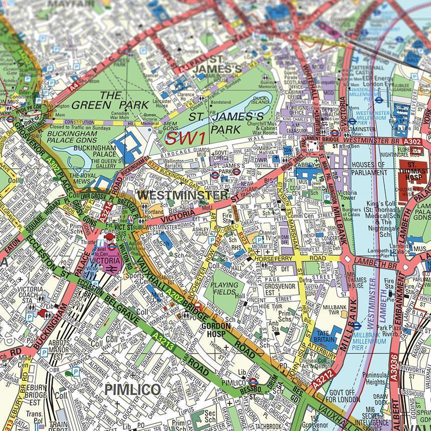
Share the postcode of a place that holds special significance to you, and we'll craft a 400-piece jigsaw puzzle featuring a map centered on that cherished location!
When it comes to expressing your love on those special occasions, a box of chocolates or a bouquet of flowers might not be enough. Instead, convey your heartfelt emotions with this unique and sentimental gift. This personalised jigsaw puzzle includes pieces that spell out "I LOVE YOU" over a location that means something to you.
Whether it's the place you grew up, where you met your partner, got married, or any other location filled with precious memories, this puzzle will beautifully capture that special moment, making it an ideal gift for any occasion.
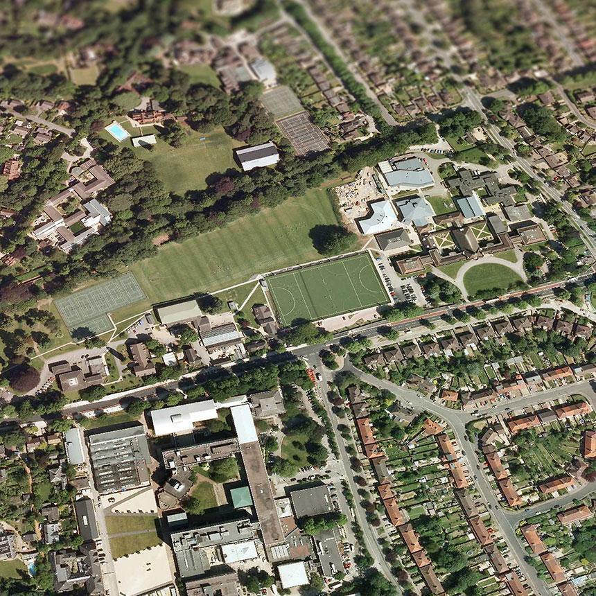
Choose from these stunning map styles: Topographic, Aerial Photography (available for England and Wales only), or the London Street Map (for postcodes within the M25). Detailed descriptions of each map style are provided below.
Our custom-made map jigsaw puzzles feature 1.9mm thick pieces, carefully packaged in an elegant box made from recycled materials. A guide print is included to assist you in assembling your intricately detailed map puzzle.
The completed 400-piece puzzle measures 47 x 32cm.
Share